|
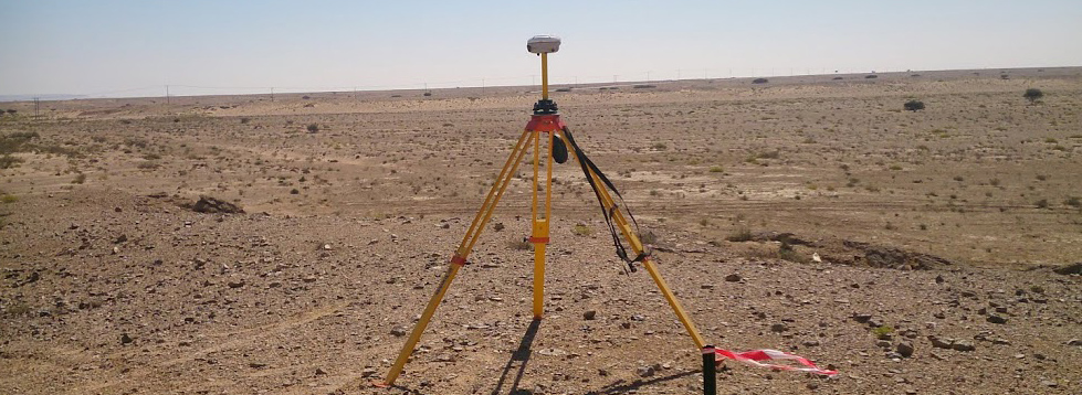
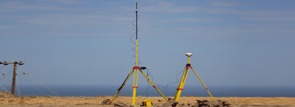
 Topographical Survey. Topographical Survey.
 Level Surveys (Precise & Differential Leveling) Level Surveys (Precise & Differential Leveling)
 Setting out of Exploration & Production Wells Setting out of Exploration & Production Wells
 Cadastral Survey and Setting out Cadastral Survey and Setting out
 Vertical & Horizontal Survey Control Networks. Vertical & Horizontal Survey Control Networks.
 Geodetic Control Network (GPS) Geodetic Control Network (GPS)
 Ground Control Points(GCP) for Aerial/Satellite & LiDAR Survey Ground Control Points(GCP) for Aerial/Satellite & LiDAR Survey
 As-built Survey As-built Survey
 Setting Out Setting Out
 Settlement Monitoring Settlement Monitoring
 Contour Mapping Contour Mapping
 Pipeline Route Surveys Pipeline Route Surveys
 Overhead Line Route Survey Overhead Line Route Survey
 Bathymetric Survey Bathymetric Survey
 Digital Terrain Modeling Digital Terrain Modeling
 Navigational Assistance for Cross-country Route Site Visits Navigational Assistance for Cross-country Route Site Visits
 Reconnaissance /Route Optimization (Pipeline/OHL/Rail/Road) Reconnaissance /Route Optimization (Pipeline/OHL/Rail/Road)
 Drafting Services Drafting Services
 Supply of qualified Surveyors and CAD operators. Supply of qualified Surveyors and CAD operators.
|
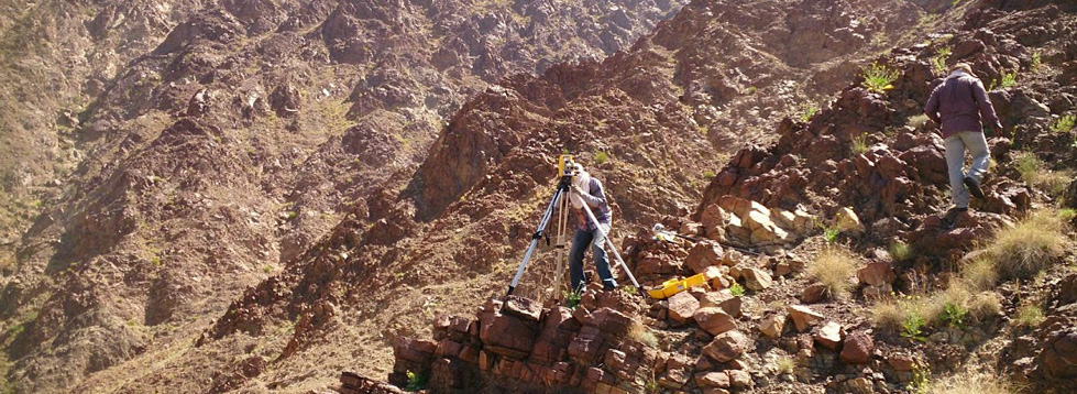
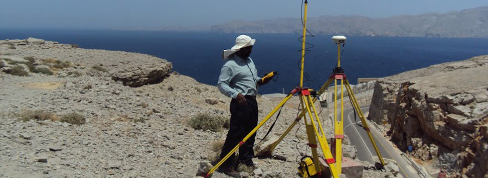
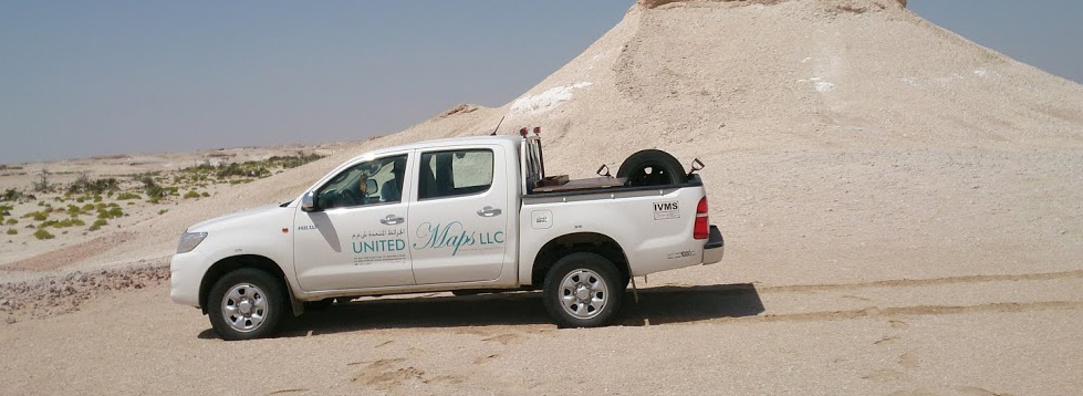
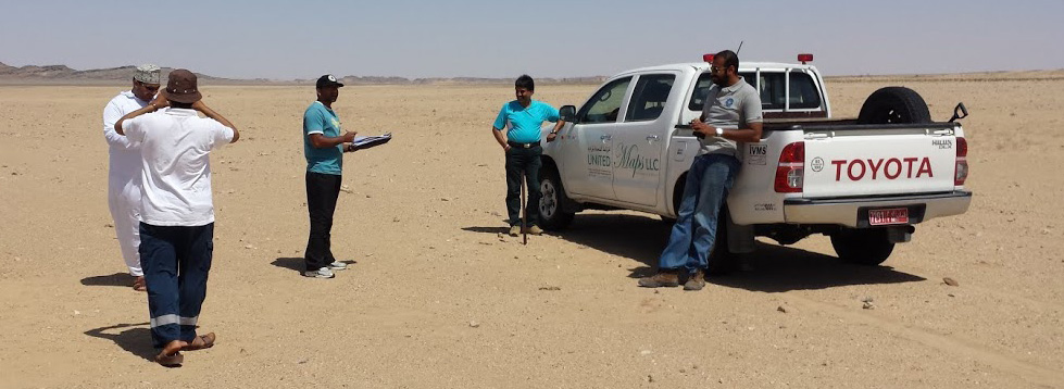

 Topographical Survey.